GIS
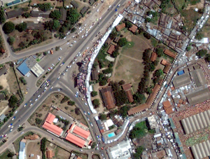 Navisat offers a comprehensive customized GIS development services using the GeoGenie cross platform GIS application generator, aerial photography, ground surveying, vector mapping and digital printing. Navisat has integrated innovative hardware and software systems for rapid, precise, and cost-effective delivery of high-quality digital data and mapping.
Navisat GIS services is designed to capture, store, manipulate, analyze, manage, and present all types of geographical data that can used to suit any organizations operational needs.